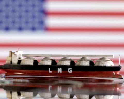
 Trump has begun another trade war. Here's a timeline of how we got here
 Canada's leader laments lost friendship with US in town that sheltered stranded Americans after 9/11
 Chinese EV giant BYD's fourth-quarter profit leaps 73%
 You're an American in another land? Prepare to talk about the why and how of Trump 2.0
 Chalk talk: Star power, top teams and No. 5 seeds headline the women's March Madness Sweet 16
 Purdue returns to Sweet 16 with 76-62 win over McNeese in March Madness
Warm air also supplies storm systems with more energy. When that vapor starts to condense into water or ice as it cools, it releases large amount of energy, known as latent heat. This additional energy fuels the storm system, leading to stronger winds and greater atmospheric instability.
That leads us to the second necessary condition for a storm: atmospheric instability.
Atmospheric instability has two components: rising air and wind shear, which is created as wind speed changes with height. The rising air, or updraft, is essential because air cools as it moves up, and as a result, water vapor condenses to form precipitation.

As the air cools at high altitudes, it starts to sink, forming a downdraft of cool and dry air on the edge of a storm system.
When there is little wind shear, the downdraft can suppress the updraft, and the storm system quickly dissipates as it exhausts the local moisture in the air. However, strong wind shear can tilt the storm system, so that the downdraft occurs at a different location, and the updraft of warm moist air can continue, supplying the storm with moisture and energy. This often leads to strong storm systems that can spawn tornadoes.
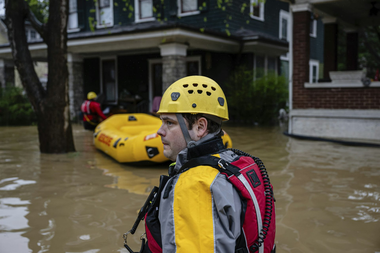
Extreme downpours hit the US
It is precisely a combination of these conditions that caused the prolonged, extensive precipitation that the Midwest and Southern states saw in early April.
The Midwest is prone to extreme storms, particularly during spring. Spring is a transition time when the cold and dry air mass from the Arctic, which dominates the region in winter, is gradually being pushed away by warm and moist air from the Gulf that dominates the region in summer.
This clash of air masses creates atmosphere instability at the boundary, where the warm and less dense air is pushed upward above the cold and denser air, creating precipitation.

The Storm Prediction Center’s one-day convective outlooks from March 30 through April 5, 2025, and the tornado, wind and hail reports over that period reflect the damage when severe storms flooded communities in the Midwest and South.
A cold front forms when a cold air mass pushes away a warm air mass. A warm front forms when the warm air mass pushes to replace the cold air mass. A cold front usually moves faster than a warm front, but the speed is related to the temperature difference between the two air masses.
The warm conditions before the April storm system reduced the temperature difference between these cold and warm air masses, greatly reducing the speed of the frontal movement and allowing it to stall over states from Texas to Ohio.
The result was prolonged precipitation and repeated storms. The warm temperatures also led to high moisture content in the air masses, leading to more precipitation. In addition, strong wind shear led to a continuous supply of moisture into the storm systems, causing strong thunderstorms and dozens of tornadoes to form.
What global warming has to do with storms
As global temperatures rise, the warming air creates conditions that are more conducive to extreme precipitation.
The warmer air can mean more moisture, leading to wetter and stronger storms. And since most significant warming occurs near the surface, while the upper atmosphere is cooling, this can increase wind shear and the atmospheric instability that sets the stage for strong storms.
Polar regions are also warming two to three times as fast as the global average, reducing the temperature gradient between the poles and equator. That can weaken the global winds. Most of the weather systems in the continental U.S. are modulated by the polar jet stream, so a weaker jet stream can slow the movement of storms, creating conditions for prolonged precipitation events.
All of these create conditions that make extreme storms and flooding much more likely in the future.

Shuang-Ye Wu does not work for, consult, own shares in or receive funding from any company or organization that would benefit from this article, and has disclosed no relevant affiliations beyond their academic appointment.
Source: The Conversation