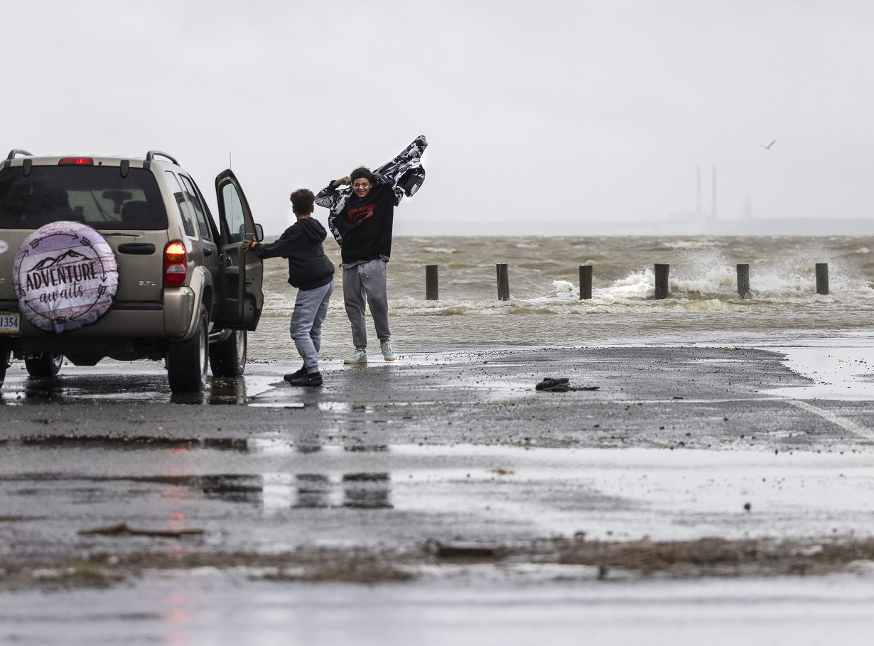
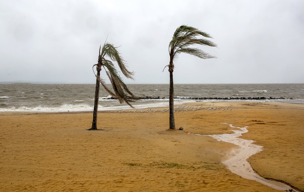
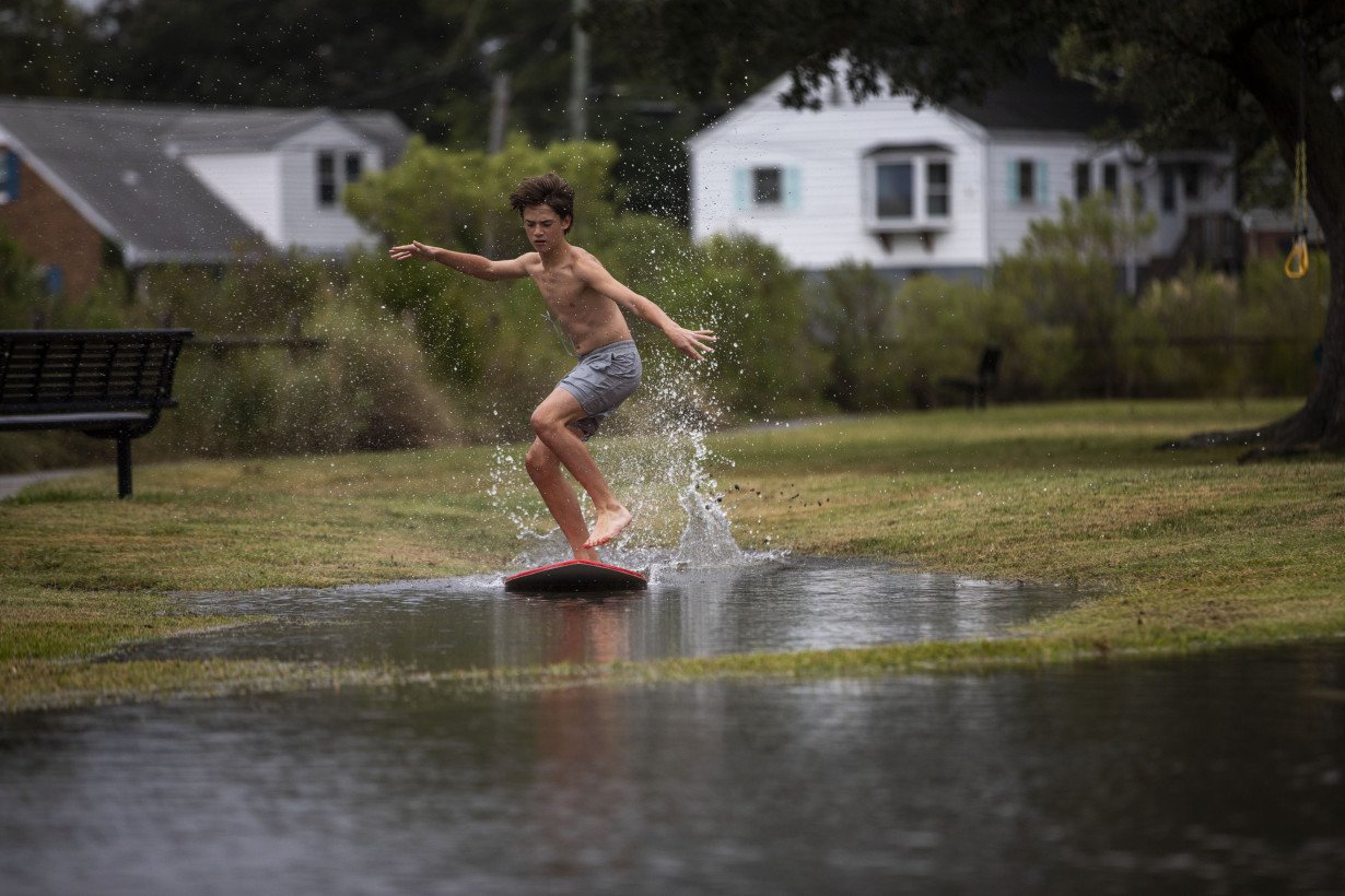
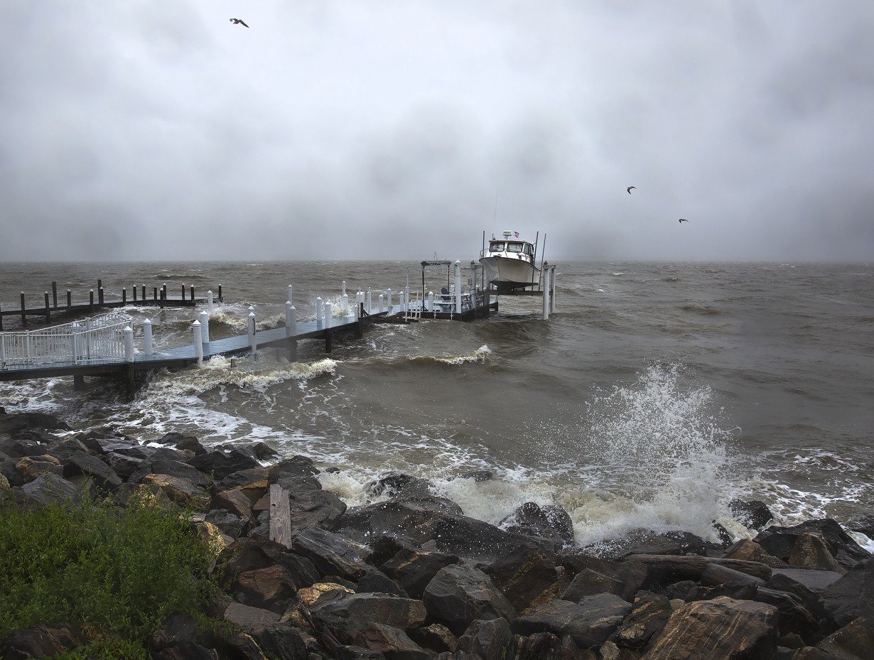
ANNAPOLIS, Md. (AP) — Residents in parts of coastal North Carolina and Virginia experienced flooding Saturday after Tropical Storm Ophelia made landfall near a North Carolina barrier island, bringing rain, damaging winds and dangerous surges.
The storm came ashore near Emerald Isle with near-hurricane-strength winds of 70 mph (113 kph), but winds weakened as it traveled north with the center of the storm crossing into Virginia by evening, the U.S. National Hurricane Center said. Ophelia is expected to sweep northeast Sunday along the mid-Atlantic coast to New Jersey.
At 7:44 p.m. EDT, the center said that Ophelia had slowed to become a tropical depression, which is a weak form of a tropical storm, and all storm surge and tropical storm warnings had been discontinued.
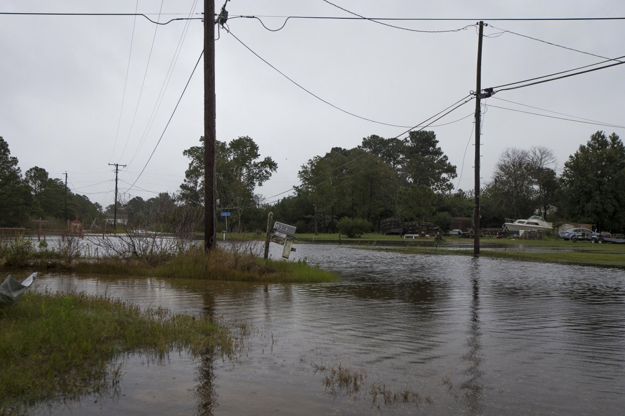
Still, videos from social media showed riverfront communities in North Carolina such as New Bern, Belhaven and Washington experiencing significant flooding. The extent of the damage was not immediately clear.
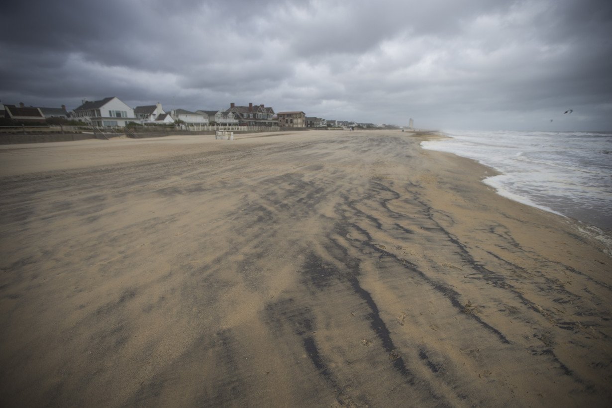
Winds were decreasing, and the system was expected to track toward the northeast by Sunday. "Additional weakening is expected, and Ophelia is likely to become a post-tropical cyclone tomorrow," said a Saturday night hurricane center statement.
Even before it made landfall, Ophelia proved treacherous enough that five people had to be rescued by the Coast Guard on Friday night from a boat anchored down near the North Carolina coastline.
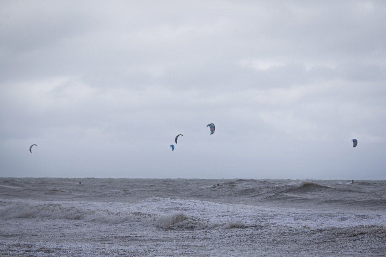
Ophelia promises a weekend of windy conditions and heavy rain as it churns up the East Coast, with the storm moving north at about 12 mph (19 kph) as of Saturday evening. Parts of North Carolina and Virginia can expect up to 5 inches (13 centimeters) of rain, with 1 to 3 inches (3 to 8 centimeters) forecast in the rest of the mid-Atlantic region through Sunday. Some New Jersey shore communities, including Sea Isle City, had already experienced flooding Saturday.
Philippe Papin, a hurricane specialist with the National Hurricane Center, said the primary risk of the storm system over the next couple of days will be the threat of floods from the rain.
“There have been tropical storm-force winds observed, but those are starting to gradually subside as the system moves further inland,” Papin said in an interview early Saturday. “However, there is a significant flooding rainfall threat for a large portion of eastern North Carolina into southern Virginia over the next 12 to 24 hours.”
Power outages spread through more states beyond North Carolina, where tens of thousands of homes and businesses remained without electricity across several eastern counties as of Saturday afternoon, according to poweroutage.us, which tracks utility reports. A Duke Energy map showed scattered power outages across much of eastern North Carolina, as winds toppled tree limbs and snagged power lines.
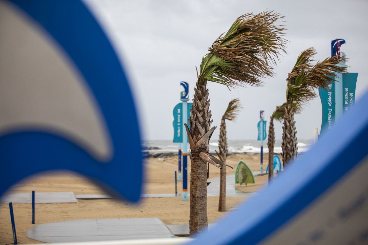
“When you have that slow-moving storm with several inches of rain, coupled with a gust that gets to 30, 40 miles per hour, that’s enough to bring down a tree or to bring down limbs," Duke Energy spokesperson Jeff Brooks told WTVD-TV on Saturday. "And that’s what we’ve seen in most of the areas where we’ve experienced outages.”
Brian Haines, a spokesperson for the North Carolina Division of Emergency Management, said there were also reports of downed trees, but no major road closings.
“North Carolina Emergency Management continues to monitor the situation and to work with our county partners, who are currently not reporting any resource needs,” Haines said Saturday morning.

Five people, including three children 10 or younger, needed the Coast Guard's help on the water when conditions worsened Friday. They were aboard a 38-foot (12-meter) catamaran anchored in Lookout Bight in Cape Lookout, North Carolina, stuck in choppy water with strong winds.
According to the Coast Guard, the sailboat's owner called them on a cellphone, prompting a nighttime rescue mission in which the crew used flares to navigate to the five people using a Coast Guard boat, then helped them aboard and left the sailboat behind. A Coast Guard helicopter lit up the path back to the station. There were no injuries reported.
At the southern tip of North Carolina's Outer Banks, Carl Cannon Jr. said he hopes he can salvage some of this weekend's long-running Beaufort Pirate Invasion, a multiday event centering on the 1747 Spanish attack on the town. He said three ships battle it out and attack the shore, and “Blackbeard” even gets beheaded (though the real-life pirate was actually killed decades before the Spanish attack).
But the storm's winds tore down the big tent for a banquet that was planned for Saturday, and several other tents were damaged or shredded. Cannon Jr. worries the financial hit will be significant, even with people helping clean up and offering to run online fundraisers.
“It's been pretty devastating,” said Cannon Jr., CEO of the nonprofit running the event. “I'm just hoping that we somehow will be able to recover.”
Cannon Jr. also hopes that soggy, windy conditions will allow for pirate reenactors to clash Sunday in Beaufort.
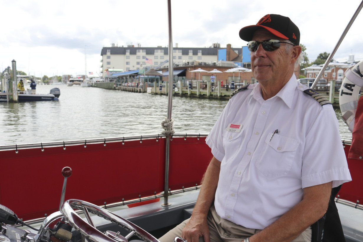
“If I can get the boats out there, we will have an attack and the people will fight on the shore,” he said.
Elsewhere, the impact was more modest.
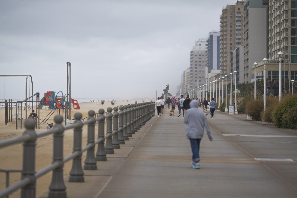
Aaron Montgomery, 38, said as the rain started coming down hard on Saturday, he noticed a leak in the roof of the home his family just moved into in Williamsburg, Virginia. Still, they were able to safely make the hour-long drive for his wife's birthday to Virginia Beach, where he said the surf and wind were strong but it had stopped raining.
“No leak in a roof is insignificant, so it's certainly something we have to deal with Monday morning,” he said.
The governors of North Carolina, Virginia and Maryland each declared a state of emergency on Friday.
It is not uncommon for one or two tropical storms, or even hurricanes, to develop right off the East Coast each year, National Hurricane Center Director Michael Brennan said.
“We’re right at the peak of hurricane season. We can basically have storms form anywhere across much of the Atlantic basin,” Brennan said in an interview Friday.
Scientists say climate change could result in hurricanes expanding their reach into mid-latitude regions more often, making storms like this month’s Hurricane Lee more common.
One study simulated tropical cyclone tracks from pre-industrial times, modern times and a future with higher emissions. It found that hurricanes would track closer to the coasts, including around Boston, New York and Virginia, and be more likely to form along the Southeast coast.
___
Mattise reported from Nashville, Tennessee. AP Radio reporter Jackie Quinn in Washington and AP writers Ron Todt in Philadelphia, Sudhin Thanawala in Atlanta and Christopher Weber in Los Angeles contributed.
___
Follow AP’s climate coverage at: https://apnews.com/hub/climate-and-environment

 Biden promised to turn the page on Trump. Now he's being replaced by him
 Firefighters prepare for increasing gusts following brief reprieve for LA area
 John Ratcliffe, tapped by Trump to lead the CIA, will face questioning in the Senate
 Nippon Steel wants to work with Trump administration on US Steel deal, Mori tells WSJ
 After cable damage, Taiwan to step up surveillance of flag of convenience ships
 BOJ will raise rates if economy, price conditions continue to improve, Ueda says
 Manatees congregate in warm waters near power plants as US winter storms graze Florida
 AAPI adults prioritize immigration, but split on mass deportations: AP-NORC/AAPI Data poll
 As Los Angeles burns, Hollywood's Oscar season turns into a pledge drive
 As fires ravage Los Angeles, Tiger Woods isn't sure what will happen with Riviera tournament
 Antetokounmpo gets 50th career triple-double as Bucks win 130-115 to end Kings' 7-game win streak
